|
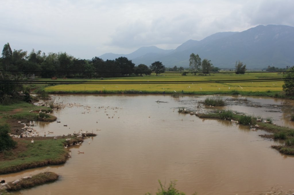 |
| Rice fields | |
| Latitude: N 12°32'35,83" | Longitude: E 109°9'49,50" | Altitude: 6 metres | Location: Lac An | State/Province: Kon Tum | Country: Vietnam | Copyright: Ron Harkink | See map | |
| Total images: 26 | Help | |
|
|
|
| Rice fields | |
| Latitude: N 12°32'35,83" | Longitude: E 109°9'49,50" | Altitude: 6 metres | Location: Lac An | State/Province: Kon Tum | Country: Vietnam | Copyright: Ron Harkink | See map | |
| Total images: 26 | Help | |